Hello, hopefully one of the devs or some friendly user can assist me.
I have been exporting my flights as geotiffs, but recently wanted to try jpeg as the file size is considerably smaller.
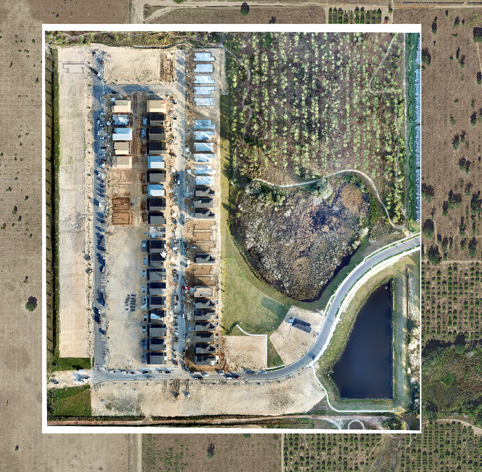
When I bring the geotiffs into arcmap, i typically have to assign the ‘no data value’ for the raster to 0, 0 ,0 to get rid of the black border that it originally inherits.
However with the jpeg export there appears to be a white border which this solution doesn’t appear to work on, is there a straight forward way to get remove the white border? I’ve attached an image it better illustrate the issue, I have an existing aerial basemap with the drone imagery sat on top (note the white borders - this is what i want to get rid of)
Thanks