This has been posted many times before, yet, I believe it should be posted daily until this feature is implemented.
Even though their service boasts about being great for forestry and mining, this software is almost not even usable for these industries because 9/10 you will be in mountainous areas! This is a key selling feature of other services such as UGCS, and, if dronedeploy isn’t working on this feature currently or will not be adding it EVER then a lot of us will be switching services.
If someone on the dd developer team can give us some insight as to this fundamental feature then it would save a lot of hair pulling time for a majority of us.
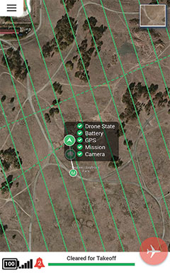
On a side note- while looking on dd’s website to specifically see which industries they claim to support I notice that the pictures of the dd app look nothing like what my dd app looks like. (not sure whether they are trying to do a major UI overhaul at the moment or what)
Terrain following has always been something we want to get in but we’ve had to prioritize reliability and make sure people can consistently fly and take photos before we spend a lot of time on terrain following. We hope to have it in the future.


