Any talk of having an export option to shapefile? I’ve messed around with QGIS, SMS, and various others. Looks like my only option might be to purchase ArcGis but that is a bit expensive.
Hi Patrick,
Shapefile export is being built right now - expect to be able to trial in the next few weeks! As an initial trial, you can pm me with the session id for a flight of yours and the layer you want as a shapefile? I’ll generate a shapefile for you and would appreciate some feedback on formats, level names, etc., which will help expedite our development.
Jeremy
Count me in, I am definitely interested too! Especially export my NDVI layer to shapefile, which can be used to make nice application maps, for example to John Deere AMS…or other monitors.
Ok great, if you could pm me a map id, I can generate a shapefile for you now and we can see if that works for John Deere AMS.
Thanks!
I’d like to participate too. Shapefiles for flight id’s 1458741461 and 1457887982 would be greatly appreciated and you’ll receive my feedback asap.
Boele
replied via pm - let me know how they turned out!
Jeremy
Jeremy, any chance I can get a shape file as well? 1457627183
I will test tomorrow in a program called SOILMAP. We create recommendation files for all monitors.
Hi Jeremy,
Thanks for your test shapes. No problem opening them in ArcGIS, FME, Qgis and Mapbox. I’ll mail you some more detailed info when I have played with them some more 
Boele
Jeremy, wasn’t sure if you got my e-mail back through the gmail e-mail I sent. I got a rejection letter there. Wanted to let you know the example turned out great you sent me. Here is a screenshot from drone deploy to my software called SOILMAP. This is fantastic. I can now take this from NDVI to execution and create results! 

didn’t get your email (did you try jeremy@dronedeploy.com?), but fantastic on the results!
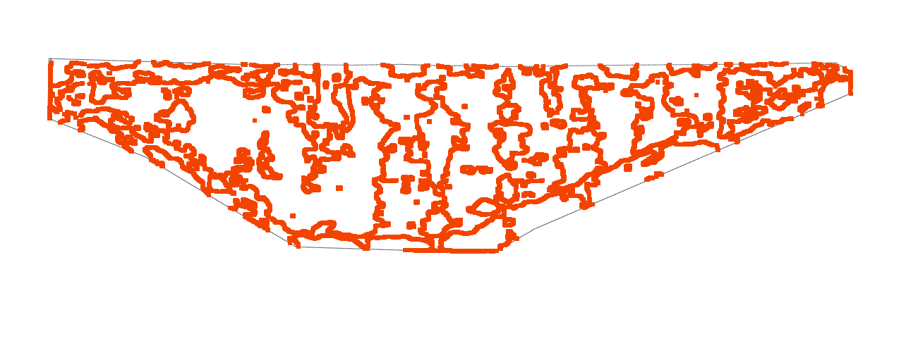
Did you import the shapefile I sent you in the message? Interesting to see the square regions you’ve generated - is that something automatically done by soilmap? The shapefile I sent had rounded polygons as shown here:
The version of shapefile export we’re rolling out on our site in a couple of weeks will actually be pretty similar to the soilmap version you have - basically large square regions.
I’m also interested in understanding the best information to put into the shapefile regions (i.e. the values for each section). For the example I gave you, the numerical values are the pixel values for the red channel (0-255), which is probably not that useful? Did you pick the values for the management zones arbitrarily? Presumably ndvi index value would be a better option, or is it just important to get the shapes of the different zones?
Thanks for testing this new feature out - feedback is really useful for us at this stage so we can make sure we’re delivering the most value to you when we roll it out live.
Best,
Jeremy
Hi Jeremy,
Any chance you could send me a sample shapefile so I can see if it works for my needs?
Thanks!
So…no? Yes? Anybody there?
What is the status of the drone deploy integration with AgX? Do you know if the ndvi shape file exports will be compatible with summit sat?
You should be able to try this out and let us know how it works for you very soon.
Any progress on this? I am interested in what this can do.
This should be released in the product now. It’s a normal feature under the export section of the data page.
Just looked at my map I uploaded last night… don’t see it anywhere yet. It is only new maps going forward?
Hi @tboutain - this may be related to your DroneDeploy plan. Exporting to shapefile format is a feature of the Business plan and up. For more information on shapefile exports, please see here .
If you’re not on a Business plan currently and are would like to discuss your options, please send an inquiry to sales@dronedeploy.com to set up a call with one of our reps.
Thank you!