That’s what i’m talking about! Very nice! You should copy it to Beautiful with a screenshot.
1 Like
Whats the best way to do a screen shot of 3D off of DD please?
Is your computer Mac or Windows?
If Windows use the Snipping tool or Snip & Sketch if your tool upgraded.
1 Like
You can also use Screen Capture in Microsoft’s OneNote. You can then copy the image to a document. Typically I leave the image in OneNote it case I want to see it later, long after the document has gone out.
Regards,
Terry.
1 Like
There’s also a very cool GIF capture tool called LICEcap (very odd choice), but it will allow you to capture a quick animation that can be posted that may have more effect than a static image. Though the forum has a 10MB limit a real quick tilt can show good dimension.
2 Likes
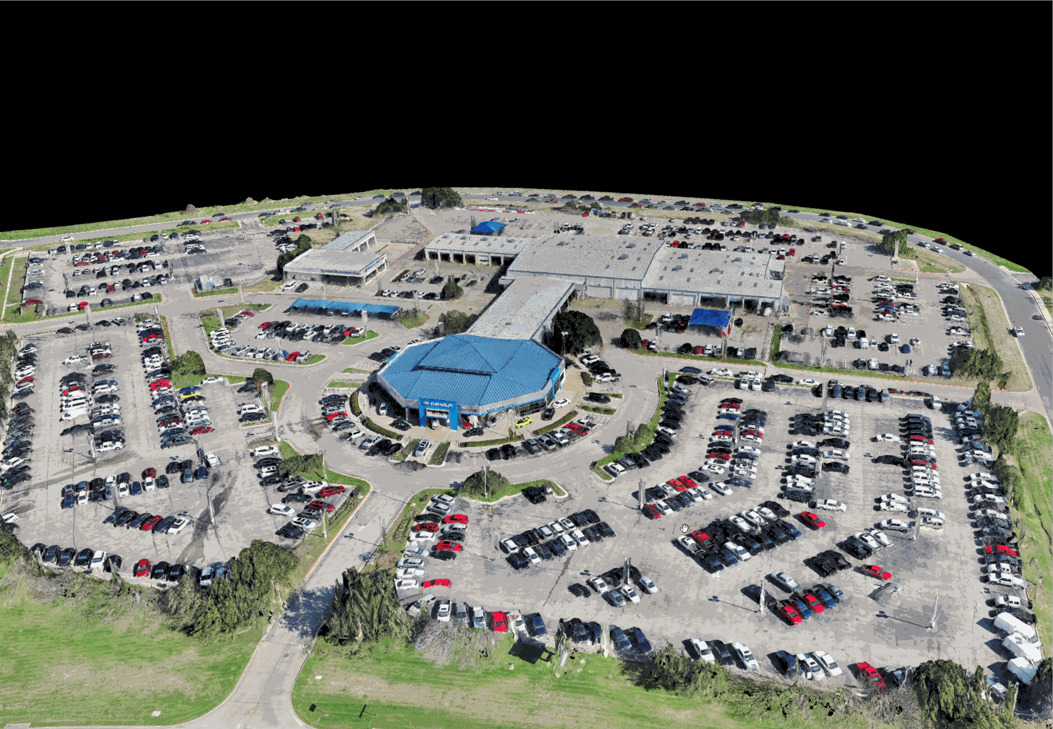
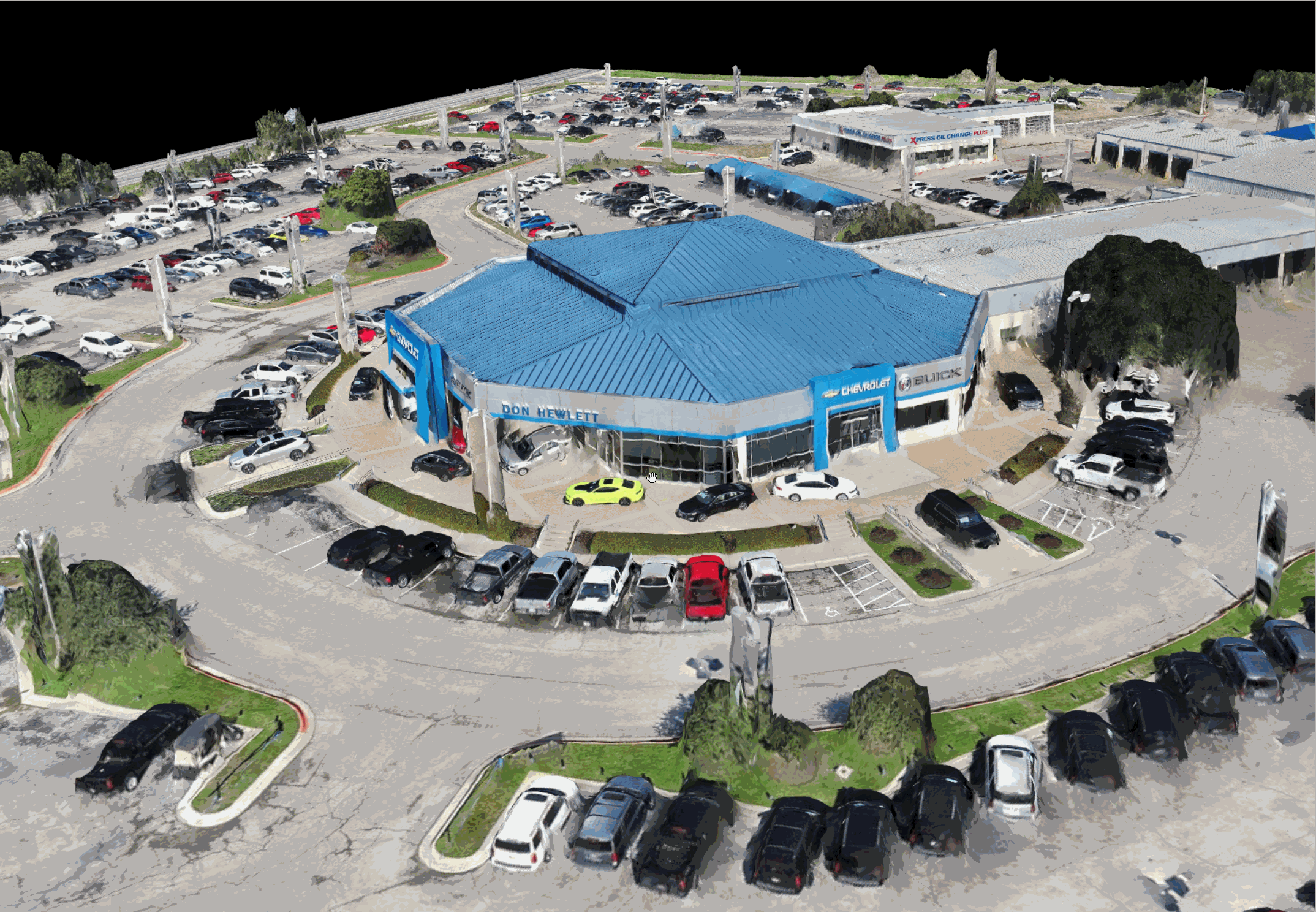
Jmason702, can you share some of your settings for the E2P. What altitude, overlaps, camera settings… I fly my sites with a P4RTK at 150’ and have never seen the detail that I saw in your last post! I have only flown my E2P a couple of times on the site at same altitude and I was very happy with the overall results but not that great detail like you have.
just one bad spot under the tree were the drone could not see
1 Like
I fly in auto camera, around 110 ft AGL, 80 percent front 70 percent side, camera angle 70 degrees, and the I do orbits from 130’ then at 90’ then at as low as I can go.
2 Likes
Awesome! I love the flat profile of this drone. Very limiting on harsh highlights and shadows similar to the Yuneec H520. This definitely could have used some handheld drone shots under that tree.
1 Like

110’ AGL Orbits down to 60 ft AGL
@jmason702 Ahhh! I was wondering how you acquired such good resolution!! Looks good! What angles do you use you use as you get lower?
1 Like
about a 45 degree angle on camera, as long as the sky is not present
1 Like
@jmason702 No sky is definitely important. I’ll have to try something like that with the P4Pv2 and see if the quality is as good.
2 Likes
Jmason702, is that .07 RMSE accuracy of the GCP’s or Checkpoints?
1 Like
What map are you refering to? and it must be the GCPs, never had that accuracy on check points
If you want detail you have to fly way below 150’. Have a look at the model below created with DroneDeploy
1 Like